Our History
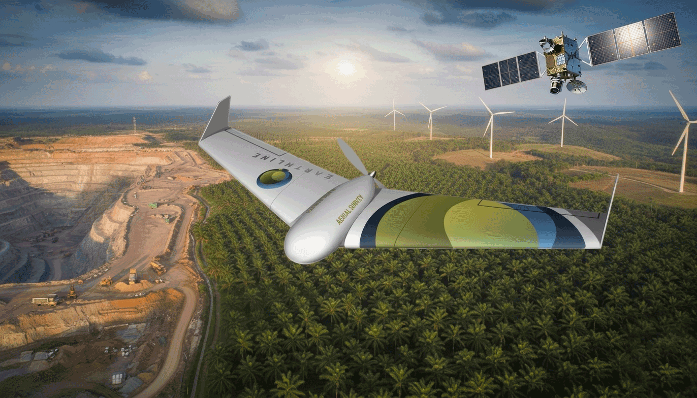
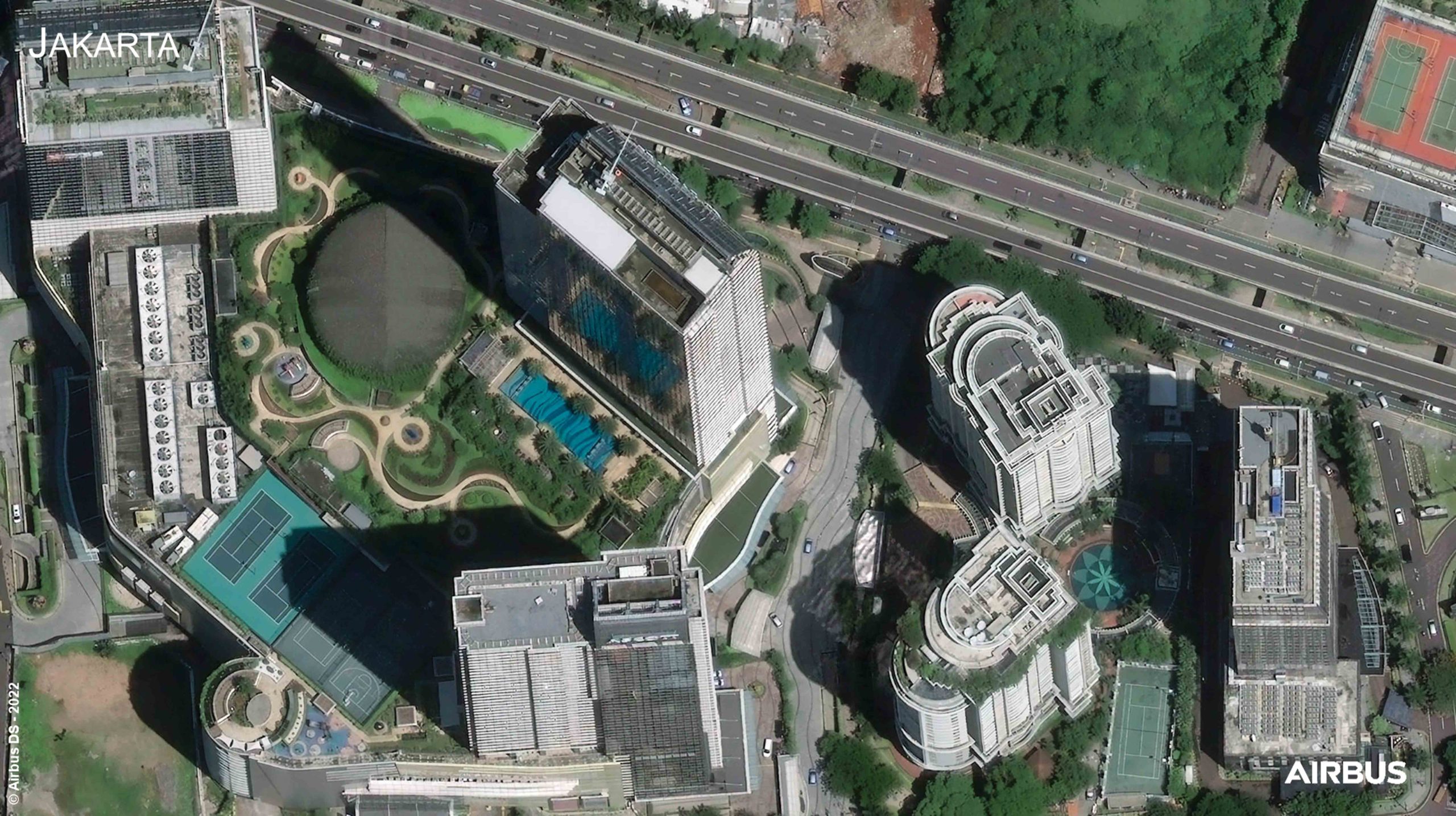
EarthLine was founded in 2001 in Jakarta, Indonesia. It started out as one of the first companies in Indonesia to transition from using Trimble GPS and aerial plane surveys to high-resolution satellite data, offering cost-effective, efficient and accurate solutions. EarthLine started when high-resolution commercial satellite imagery had recently become available, offering new technology with the highest accuracy and efficiency on the market to clients. In addition to satellite imagery, we started building our own drones to adapt to a multitude of projects for any client.
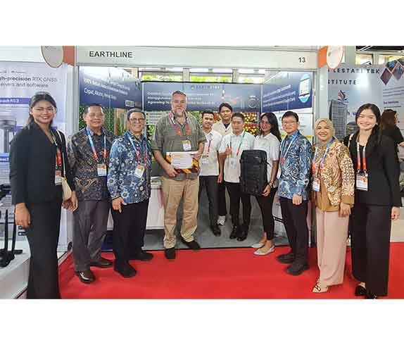
Nearly 25 years later, EarthLine employs between 30-80 people and we are the only company in Indonesia to be authorized resellers of all major global satellite vendors, building longstanding relationships and partnership agreements
Values
Diversity, inclusivity, and hard work are at the core of who we are. We believe that a good working environment is essential for the well-being of our employees and productivity for our clients.
Vision
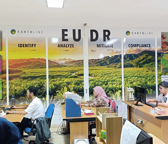
EarthLine is committed to remaining a leading mapping and imaging company. We want to use geospatial intelligence and agronomic surveys to drive Indonesia's agricultural sector forward and help address food security issues.
Mission
To implement accurate and efficient mapping and imaging services for every applicable sector. Our mission is to improve agriculture and help Indonesia achieve food security through remote sensing and precision agriculture.

Adam Perry Mandeville
President Director and Founder of the Earthline
Perry is EarthLine’s visionary. For nearly 25 years, Perry has led the company with dedication and enthusiasm, guiding it to grow and explore new opportunities while always striving to keep up with global developments. Under his leadership, EarthLine is now recognized as a leading image and mapping provider in Indonesia with a strong global reputation and long-standing customer relationships.

Wahyu Wibowo
Director
Wahyu Wibowo, known as Bowo, is responsible for managing the production team. Starting his career as a surveyor, Bowo, who is known for his meticulous attention to detail, was later entrusted with the role of Director to develop the expertise of each department at Earthline. An alumnus of Gadjah Mada University majoring in Geodesy Engineering, he has used his interpersonal skills to help the company develop efficiently.