

Skip to main content Scroll Top

About Company

Your Geospatial Intelligence Partner Since 2001

Founded in December 2001 in Jakarta, Earthline has spent more than two decades at the forefront of geospatial and remote-sensing innovation. We’ve built our reputation by helping clients in some of the world’s most vital industries turn imagery into actionable insight.

Why Earthline ?

Experience You Can Trust

With over 20 years in the industry, Earthline understands both the technology and the practical needs of our clients. We’ve supported everyone from plantation managers to energy project developers with data they can rely on.

Scale and Efficiency

We offer satellite-first, scale-ready solutions that cover thousands of hectares with ease, complemented by drone imagery when extra detail is needed. Objective, Defensible Data Our data is independent and unbiased, trusted for audits, compliance, and critical business decisions.

Industry-Focused Solutions

We don’t just provide maps; we deliver geospatial intelligence built for real-world use in oil palm, forestry, mining, and energy. Our solutions are field-tested and industry-approved.

Our Mission

At Earthline, our mission is to empower you to make smarter, faster, and more confident decisions. By harnessing the reach of satellite imagery, the precision of drones, and the power of AI analytics, we turn geospatial data into real-world impact.

What We Do

We have in-depth experience, knowledge and skill in geospatial data and analysis.

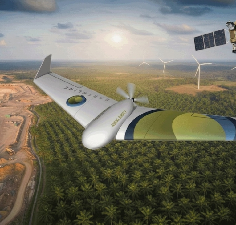
Earthline specializes in delivering high-resolution satellite imagery, advanced drone mapping, and AI-powered analytics tailored for oil palm plantations, forestry, mining, and energy projects. Our solutions are designed not just to collect data, but to transform it into clear, reliable intelligence that empowers real-world decision-making.

We have a national and global network of research facilities, laboratories and universities to collaborate and partner with.
Why Satellite Imagery?

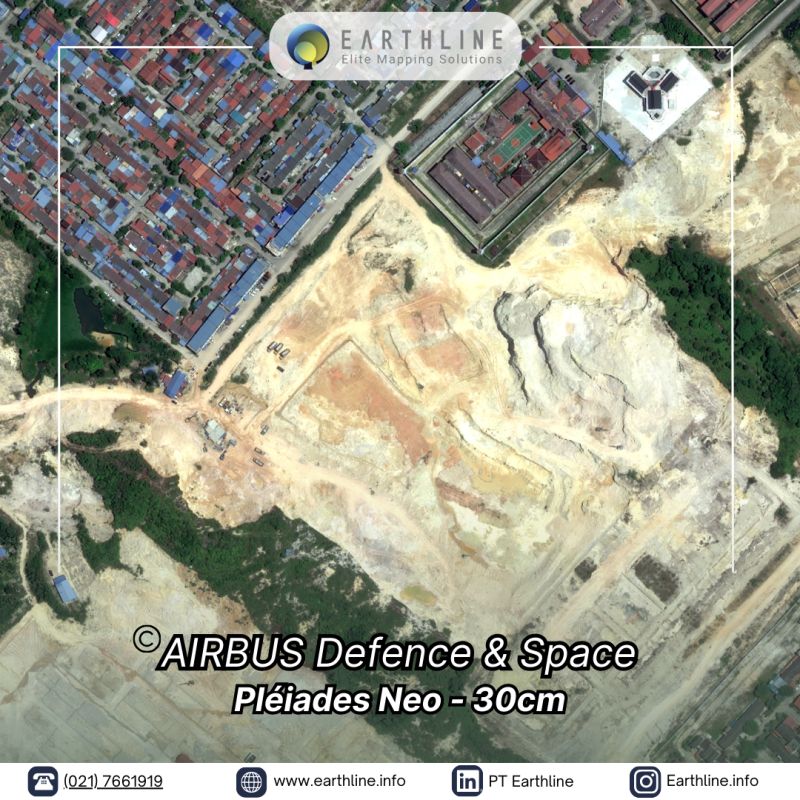
Satellite imagery lies at the heart of our approach. With high-resolution satellites, we can cover vast areas quickly and cost-effectively, providing the detail you need without the logistical hurdles of field surveys. This makes satellite imagery ideal for large estates, regional monitoring, and repeat assessments over time.

We have a national and global network of research facilities, laboratories and universities to collaborate and partner with.
Our History

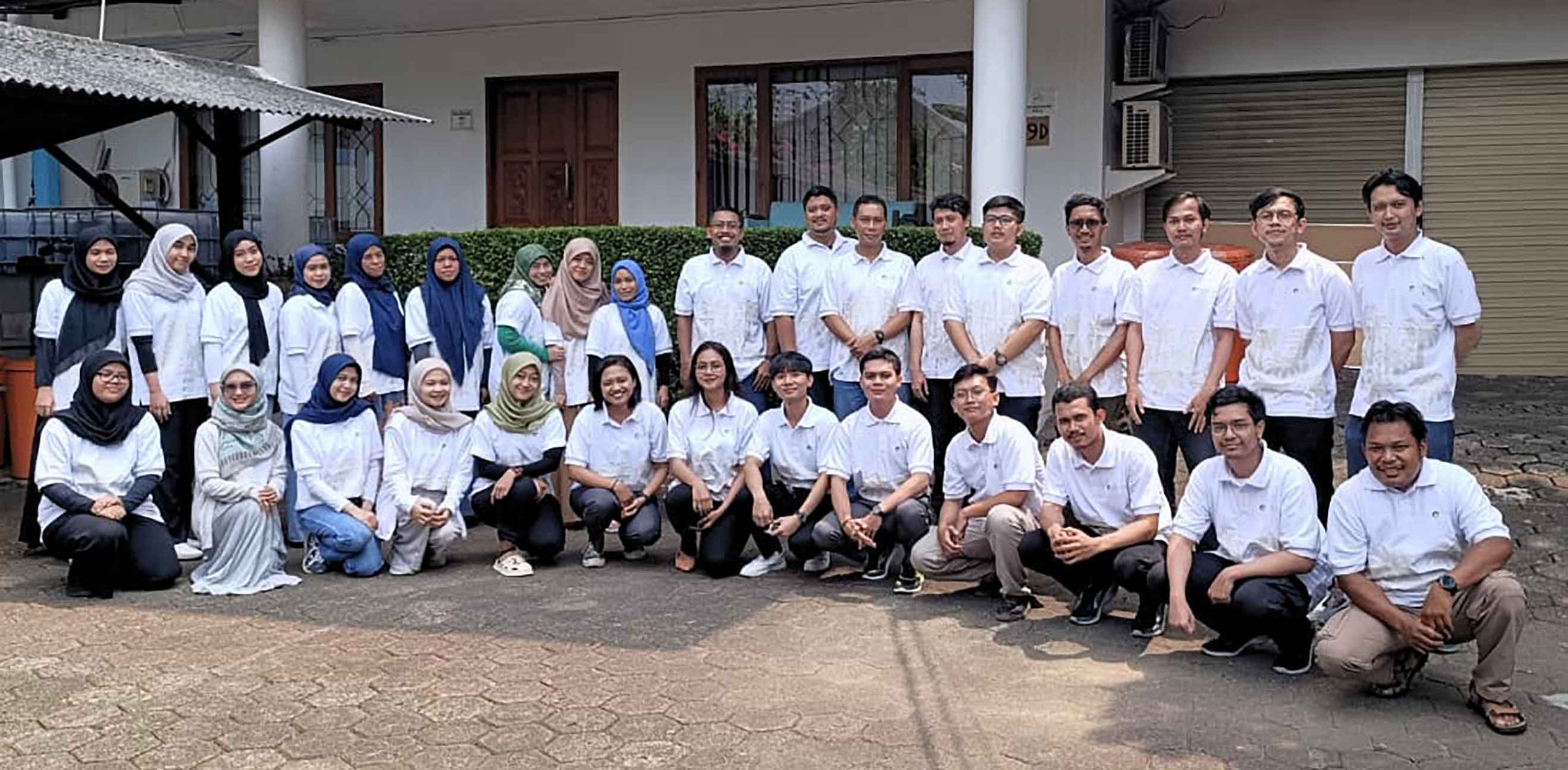
EarthLine was founded in 2001 in Jakarta, Indonesia. It started out as one of the first companies in Indonesia to transition from using Trimble GPS and aerial plane surveys to high-resolution satellite data, offering cost-effective, efficient and accurate solutions. EarthLine started when high-resolution commercial satellite imagery had recently become available, offering new technology with the highest accuracy and efficiency on the market to clients. In addition to satellite imagery, we started building our own drones to adapt to a multitude of projects for any client. Nearly 25 years later, EarthLine employs between 30-80 people and we are the only company in Indonesia to be authorized resellers of all major global satellite vendors, building longstanding relationships and partnership agreements.

Timeline

2000

Established (SPOT Image and Space Imaging Partners)

2003

Established DigitalGlobe partner

2005

Intermap Partner
(Airborne radar IFSAR)

2005

Mapped 1.2 million hectares of Sinarmas Forestry

2009

Multispectral imagery analysis services including crop stress detection

2012

Drone aerial surveys added

2013

Development of our own drones for projects

2017

MicaSense Red Edge multispectral sensor

2019

over 20 million hectares mapped, including over 1.3 million hectares flown via drones.

the company's strategic foundation

Values

Diversity, inclusivity, and hard work are at the core of who we are. We believe that a good working environment is essential for the well-being of our employees and productivity for our clients.

Vision

EarthLine is committed to remaining a leading mapping and imaging company. We want to use geospatial intelligence and agronomic surveys to drive Indonesia's agricultural sector forward and help address food security issues.

Mission

To implement accurate and efficient mapping and imaging services for every applicable sector. Our mission is to improve agriculture and help Indonesia achieve food security through remote sensing and precision agriculture.

Management